In 1764, following the Treaty of Paris ending the Seven Years’ War between France and Great Britain, the Anglo-Americans erected Fort Bute on the eastern bank of the Mississippi River at the confluence of the Iberville River, now Bayou Manchac. The Spaniards then controlling Louisiana responded by building Fort San Gabriel de La Manchac two years later, 19 kilometres (12 miles) south of Baton Rouge on the west bank of the Mississippi.

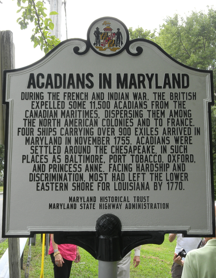
On September 28, 1766, a British ship arrived in New Orleans from Baltimore, Maryland, with 224 Acadian refugees (approximately 50 families) on board. Eager to complete the construction of the fort and populate its surroundings, Governor Antonio de Ulloa provided the Acadians with food, agricultural tools and guns. Then in the summer of 1767 he moved them in proximity of Fort San Gabriel. At that time, the mouth of Bayou Manchac, a name of Aboriginal origin, was on the border between Louisiana (administered by the Crown of Spain) and the southern Anglo-American Colonies.
It is important to know that during the Great Upheaval of 1755 five records registries of Saint-Charles-des-Mines Parish at Grand-Pré, Nova Scotia (formerly Acadia), covering the period 1688-1775, were transported by the Acadian deportees. After spending a decade in Maryland these registries were transported again to Louisiana and handed over in 1767 to the resident priest at Fort San Gabriel. Three of them (in regards to years 1707-1748) are presently in the vaults of the Archives of the Diocese of Baton Rouge. The other two registries were unfortunately destroyed during an erosion of the riverbanks. See BMS (Baptisms, Marriages, Sepultures) of Grand Pre’s Saint-Charles-des-Mines of 1707-1748 (containing 3412 inscriptions).
The Settlers of San Gabriel
As soon as they arrived in San Gabriel in August 1767, the first settlers were identified by Spanish enumerators who had great difficulty understanding French and spelling Acadian names correctly. As a result, Babin became Bavin, Granger > Granget, LeBlanc > Leblan, Allain > Alin, Forêt > Forez, Richard > Ruchar, Comeau > Commo, Bontemps > Botam, Blanchard > Blancher, Melançon > Lanson, and Belle-Isle > Velila.
All orphan children were attached to a family. Just over 32% of the refugees were bearing the name Hébert (Hiber) or Landry (Landri). Young unmarried men were assigned tasks at the fort as wage earners. It was the resident doctor at the fort who saw to the health care of all Acadians and their families. The average age of the entire group, children included, was 20. Periodically and on a rotating basis, hunting parties were organized to provide a constant supply of meat to the inhabitants as well as to the soldiers.

In accordance with Governor Ulloa’s decree, plots of land below the fort towards New Orleans were granted in a linear fashion, like a military formation, along the Mississippi. Only heads of families, whether married, widowed or single, became landowners. The purpose of this policy was to force adults to marry and start a family to essentially strengthen the border and expand the Acadian Coast. It goes without saying that the Acadians were kindly asked to be vigilant of the Anglo-Americans living across the river.

The government decree also provided that the commander overseeing the fort, the militia and the parish of San Gabriel (now St. Gabriel) was responsible for civil affairs in matters of governance of the territory and the administration of justice for all regarding submitted disputes. As for economic issues, they were self-managed by the Acadians themselves. Then in 1769, under the direction of Father Dragobert, the parishioners erected a church made of cypress wood outside the palisades of the fort to meet the spiritual needs of all inhabitants. Between November 1774 and July 1776, the church was remodeled by Louis LeConte, a builder from La Fourche, with the help of parishioners. On November 27, 1972, it was listed in the National Register of Historic Places of the United-States.
Today, St. Gabriel is located in Iberville Parish which is part of the Baton Rouge Metropolitan Statistical Area.